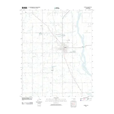
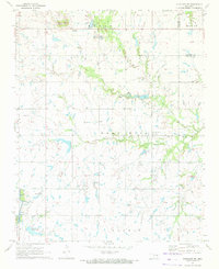
2010 Map of Haskell
USGS Topo · Published 2010About this map
The Arkansas River defines the eastern boundary of this landscape, its wide channel accompanied by several smaller tributaries including Coal Creek, Ash Creek, and Salt Creek. At the center of this network lies the town of Haskell, a hub of local transport and commerce where S Chickasaw Ave and several regional routes intersect. The town is flanked by essential infrastructure of the early 21st century, including the Haskell Airport and Haskell Lake, which is contained by the Haskell Lake Dam.
Find a feature on this map
49 named features on this map. Tap any name to fly to it.
Don’t see what you’re looking for? This feature index may not catch every label — zoom into the map to look around manually.
Map Details
Editions of this 2010 Haskell Map
This is the sole edition of this map. No revisions or reprints were ever made.
Other maps of this area

1896 · Okmulgee
USGS Topo · 1:125,000

1900 · Okmulgee
USGS Topo · 1:125,000

1946 · Fort Smith
USGS Topo · 1:250,000

1957 · Leonard
USGS Topo · 1:24,000
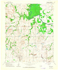
1963 · Red Bird
USGS Topo · 1:24,000
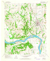
1963 · Coweta
USGS Topo · 1:24,000

1965 · Fort Smith
USGS Topo · 1:250,000

1967 · Fort Smith
USGS Topo · 1:250,000
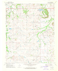
1971 · Beland
USGS Topo · 1:24,000
1971 · Okmulgee NE
USGS Topo · 1:24,000