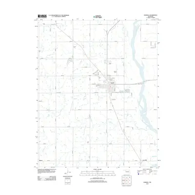
2012 Map of Haskell
USGS Topo · Published 2012About this map
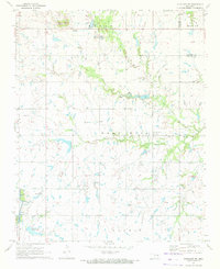
The Arkansas River defines the eastern boundary of this landscape, its wide channel and shifting sandbars flanking the town of Haskell. Located in Muskogee County, the area is characterized by a dense network of sectional roads and small watercourses like Ash Cr, Salt Cr, and Coal Cr that feed into the river basin. The town center of Haskell is laid out on a grid featuring streets such as Center St and Duncan St, served by the small Haskell Airport nearby.
Find a feature on this map
61 named features on this map. Tap any name to fly to it.
Don’t see what you’re looking for? This feature index may not catch every label — zoom into the map to look around manually.
Map Details
Editions of this 2012 Haskell Map
This is the sole edition of this map. No revisions or reprints were ever made.
Other maps of this area

1896 · Okmulgee
USGS Topo · 1:125,000

1900 · Okmulgee
USGS Topo · 1:125,000

1946 · Fort Smith
USGS Topo · 1:250,000

1957 · Leonard
USGS Topo · 1:24,000
1963 · Red Bird
USGS Topo · 1:24,000
1963 · Coweta
USGS Topo · 1:24,000

1965 · Fort Smith
USGS Topo · 1:250,000

1967 · Fort Smith
USGS Topo · 1:250,000
1971 · Beland
USGS Topo · 1:24,000
1971 · Okmulgee NE
USGS Topo · 1:24,000