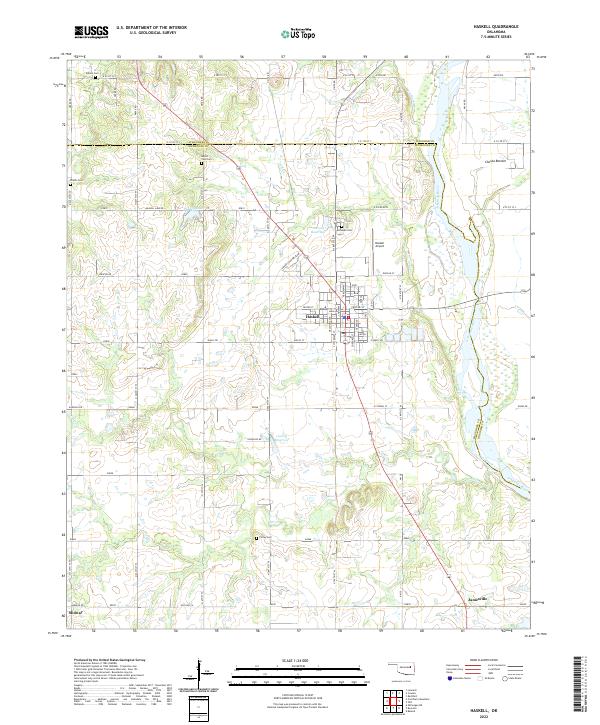
2022 Map of Haskell
USGS Topo · Published 2022About this map
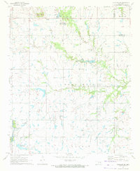
The Arkansas River winds through the eastern portion of this landscape, defining the border between Wagoner and Muskogee counties near Choska Bottom. The town of Haskell serves as the central hub, organized by a traditional grid with streets such as Main, Pine, and Elm intersected by Green Country Blvd. The surrounding rural territory is marked by small family and community burial grounds, including Friday Cem, Gibson Cem, and Mount Zion Cem, which offer significant research value for genealogists studying the area's early residents. Outside the town center, the terrain is shaped by several water bodies such as Haskell Lake and the drainage of Salt Cr and Ash Cr. Small outlying settlements like Jamesville and Midway anchor the southern reaches of the map, illustrating the persistent settlement patterns of this river-valley region.
Find a feature on this map
69 named features on this map. Tap any name to fly to it.
Don’t see what you’re looking for? This feature index may not catch every label — zoom into the map to look around manually.
Map Details
Editions of this 2022 Haskell Map
This is the sole edition of this map. No revisions or reprints were ever made.
Other maps of this area

1896 · Okmulgee
USGS Topo · 1:125,000

1900 · Okmulgee
USGS Topo · 1:125,000

1946 · Fort Smith
USGS Topo · 1:250,000

1957 · Leonard
USGS Topo · 1:24,000
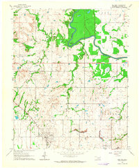
1963 · Red Bird
USGS Topo · 1:24,000
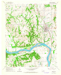
1963 · Coweta
USGS Topo · 1:24,000

1965 · Fort Smith
USGS Topo · 1:250,000

1967 · Fort Smith
USGS Topo · 1:250,000
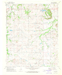
1971 · Beland
USGS Topo · 1:24,000
1971 · Okmulgee NE
USGS Topo · 1:24,000