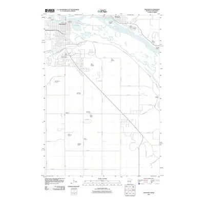
2010 Map of Hastings
USGS Topo · Published 2010About this map
The confluence of the Mississippi River and Lake Saint Croix anchors this landscape, where the historic settlement of Hastings meets the smaller community of Prescott. This 2010 survey highlights a significant concentration of commemorative and religious sites, including the Veterans Cemetery and Saint Josephs Cemetery, reflecting the area's long-established social fabric. The Vermillion River meanders through the southern half of the map, marked by the Vermillion River Dam and several expansive green spaces like the Bellwood Oaks Golf Course.
Find a feature on this map
53 named features on this map. Tap any name to fly to it.
Don’t see what you’re looking for? This feature index may not catch every label — zoom into the map to look around manually.
Map Details
Editions of this 2010 Hastings Map
This is the sole edition of this map. No revisions or reprints were ever made.
Other maps of this area

1944 · Red Wing
USGS Topo · 1:62,500

1946 · Hudson
USGS Topo · 1:62,500

1946 · River Falls
USGS Topo · 1:62,500

1949 · River Falls
USGS Topo · 1:62,500

1949 · Hudson
USGS Topo · 1:62,500

1950 · St Paul Park
USGS Topo · 1:24,000

1951 · St Paul Park
USGS Topo · 1:24,000

1951 · Prescott
USGS Topo · 1:24,000

1952 · Red Wing
USGS Topo · 1:62,500

1953 · Saint Paul
USGS Topo · 1:250,000