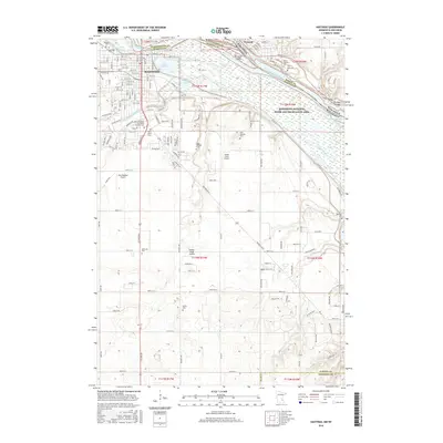
2016 Map of Hastings
USGS Topo · Published 2016About this map
Hastings sits at the confluence of several major waterways, anchored by the wide bend of the Mississippi River and the Vermillion River. This 2016 survey shows a landscape defined by its riverine geography and a significant concentration of commemorative sites, including the Veterans Cem and Lakeside Cem in the northwest. The presence of numerous burial grounds like Irish Catholic Cem, Saint Luke's Cem, and Bellwood Cem provides a dense genealogical record for the region.
Find a feature on this map
106 named features on this map. Tap any name to fly to it.
Don’t see what you’re looking for? This feature index may not catch every label — zoom into the map to look around manually.
Map Details
Editions of this 2016 Hastings Map
This is the sole edition of this map. No revisions or reprints were ever made.
Other maps of this area

1944 · Red Wing
USGS Topo · 1:62,500

1946 · Hudson
USGS Topo · 1:62,500

1946 · River Falls
USGS Topo · 1:62,500

1949 · River Falls
USGS Topo · 1:62,500

1949 · Hudson
USGS Topo · 1:62,500

1950 · St Paul Park
USGS Topo · 1:24,000

1951 · St Paul Park
USGS Topo · 1:24,000

1951 · Prescott
USGS Topo · 1:24,000

1952 · Red Wing
USGS Topo · 1:62,500

1953 · Saint Paul
USGS Topo · 1:250,000