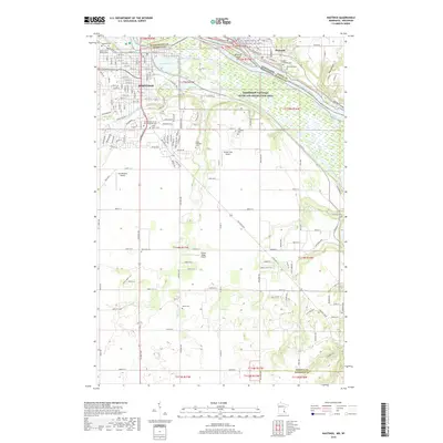
2019 Map of Hastings
USGS Topo · Published 2019About this map
The Mississippi River and Vermillion River define the industrial and natural geography of this riverfront area where Minnesota and Wisconsin meet. Modern infrastructure in Hastings sits alongside preserved legacy sites, including a high concentration of burial grounds such as the Soldiers and Sailors Cem and the Irish Catholic Cem. These sites, along with the State Hospital Cem, provide significant markers for genealogical research in Dakota County.
Find a feature on this map
50 named features on this map. Tap any name to fly to it.
Don’t see what you’re looking for? This feature index may not catch every label — zoom into the map to look around manually.
Map Details
Editions of this 2019 Hastings Map
This is the sole edition of this map. No revisions or reprints were ever made.
Other maps of this area

1944 · Red Wing
USGS Topo · 1:62,500

1946 · Hudson
USGS Topo · 1:62,500

1946 · River Falls
USGS Topo · 1:62,500

1949 · River Falls
USGS Topo · 1:62,500

1949 · Hudson
USGS Topo · 1:62,500

1950 · St Paul Park
USGS Topo · 1:24,000

1951 · St Paul Park
USGS Topo · 1:24,000

1951 · Prescott
USGS Topo · 1:24,000

1952 · Red Wing
USGS Topo · 1:62,500

1953 · Saint Paul
USGS Topo · 1:250,000