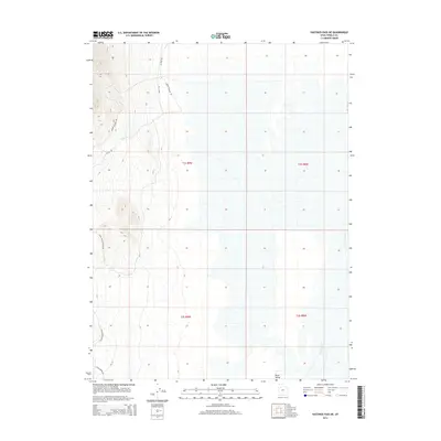
2014 Map of Hastings Pass NE
USGS Topo · Published 2014About this map
Skull Valley stretches across the eastern portion of this map, characterized by its wide, open floor and the intermittent presence of Delle Springs. The western boundary is defined by the rising elevations of the Cedar Mountains, where specialized routes like Cedar Mountain Rd and Henry Spring Rd wind through the steeper terrain. This region is a study in desert navigation and water sourcing, where family-named or descriptive routes like Indian Feather Rd and Old Nag Rd suggest a history of livestock management or early transit through the Great Basin. The network of primitive roads, including Delle Rd and Skull Valley Knolls Rd, illustrates how the land was accessed for ranching or resource management in the early twenty-first century.
Find a feature on this map
15 named features on this map. Tap any name to fly to it.
Don’t see what you’re looking for? This feature index may not catch every label — zoom into the map to look around manually.
Map Details
Editions of this 2014 Hastings Pass NE Map
This is the sole edition of this map. No revisions or reprints were ever made.
Other maps of this area

1885 · Tooele Valley
USGS Topo · 1:250,000

1953 · Tooele
USGS Topo · 1:250,000

1955 · Timpie
USGS Topo · 1:62,500

1955 · Tooele
USGS Topo · 1:250,000

1968 · Poverty Point
USGS Topo · 1:24,000

1973 · Delle
USGS Topo · 1:24,000

1973 · Hastings Pass NE
USGS Topo · 1:24,000

1973 · Low
USGS Topo · 1:24,000

1973 · Quincy Spring
USGS Topo · 1:24,000

1973 · Hastings Pass
USGS Topo · 1:24,000