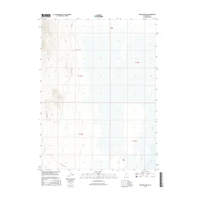
2017 Map of Hastings Pass NE
USGS Topo · Published 2017About this map
Skull Valley defines the landscape of this Tooele County region, characterized by its expansive wetlands and the tracks of historic transit. In this modern survey, the legacy of western migration is preserved in the path of Hastings Cutoff Rd, a critical route for 19th-century pioneers traversing the desert. The map illustrates a complex network of arid-land water features, most notably Delle Springs in the eastern reaches. Local naming conventions are captured through remote access routes such as Old Nag Rd, Indian Feather Rd, and Skull Valley Knolls Rd, which navigate the elevation changes between the valley floor and the surrounding high ground. The survey provides a clear view of the Public Land Survey System divisions, including t1s r9w and t2s r8w, which organize this sparsely settled but historically significant territory.
Find a feature on this map
10 named features on this map. Tap any name to fly to it.
Don’t see what you’re looking for? This feature index may not catch every label — zoom into the map to look around manually.
Map Details
Editions of this 2017 Hastings Pass NE Map
This is the sole edition of this map. No revisions or reprints were ever made.
Other maps of this area

1885 · Tooele Valley
USGS Topo · 1:250,000

1953 · Tooele
USGS Topo · 1:250,000

1955 · Timpie
USGS Topo · 1:62,500

1955 · Tooele
USGS Topo · 1:250,000

1968 · Poverty Point
USGS Topo · 1:24,000

1973 · Delle
USGS Topo · 1:24,000

1973 · Hastings Pass NE
USGS Topo · 1:24,000

1973 · Low
USGS Topo · 1:24,000

1973 · Quincy Spring
USGS Topo · 1:24,000

1973 · Hastings Pass
USGS Topo · 1:24,000