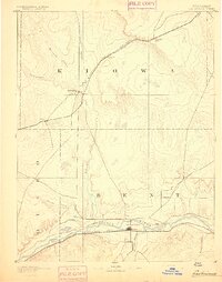
1953 Map of Hasty
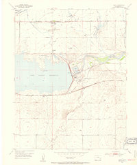
USGS Topo · Published 1979About this map
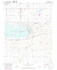
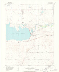
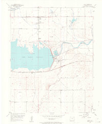
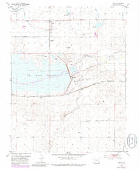
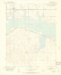
The John Martin Reservoir dominates this landscape along the Arkansas River, reflecting the post-war hydraulic engineering that reshaped southeastern Colorado. North of the water, the small settlement of Hasty serves as a local hub near the Union Valley Cemetery and a private Airfield, while the village of Caddoa sits to the east. This area is steeped in transit history, showing the Old Santa Fe Trail running parallel to the modern Atchison Topeka and Santa Fe railroad line.
Find a feature on this map
25 named features on this map. Tap any name to fly to it.
Don’t see what you’re looking for? This feature index may not catch every label — zoom into the map to look around manually.
Map Details
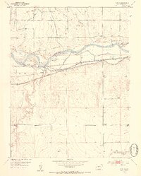
Editions of this 1953 Hasty Map
5 editions found
Other maps of this area

1891 · Higbee
USGS Topo · 1:125,000

1891 · Las Animas
USGS Topo · 1:125,000

1892 · Lamar
USGS Topo · 1:125,000

1892 · Two Butte
USGS Topo · 1:125,000

1893 · Higbee
USGS Topo · 1:125,000

1893 · Two Butte
USGS Topo · 1:125,000
1893 · Las Animas
USGS Topo · 1:125,000
1953 · Hasty
USGS Topo · 1:24,000
1953 · Prowers
USGS Topo · 1:24,000
1953 · Kreybill
USGS Topo · 1:24,000