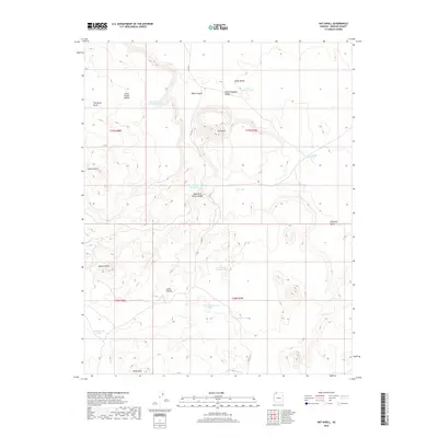
2018 Map of Hat Knoll
USGS Topo · Published 2018About this map
Hat Knoll and the surrounding high desert of Mohave County are defined by a network of essential water management features. In this arid landscape, the presence of Seven Knolls Bench Reservoir, Black Canyon Reservoir, and Leslie Tank Number Two indicates a reliance on collected runoff for ranching or local use. The map illustrates a rugged topography characterized by prominent elevations such as Seven Knolls, Spencer Knoll, and the distinctive The Black Rocks. Transportation through this remote stretch is limited, primarily served by Co HWY 5, which navigates the terrain between Black Canyon and Little Clayhole Valley. The arrangement of these cattle tanks and reservoirs alongside natural landmarks like Cutler Pockets reveals the human effort to adapt to the northern Arizona environment in the late 2010s.
Find a feature on this map
27 named features on this map. Tap any name to fly to it.
Don’t see what you’re looking for? This feature index may not catch every label — zoom into the map to look around manually.
Map Details
Editions of this 2018 Hat Knoll Map
This is the sole edition of this map. No revisions or reprints were ever made.
Other maps of this area

1886 · Mt. Trumbull
USGS Topo · 1:250,000

1886 · Kaibab
USGS Topo · 1:250,000

1892 · Mt. Trumbull
USGS Topo · 1:250,000

1953 · Grand Canyon
USGS Topo · 1:250,000

1954 · Heaton Knolls NW
USGS Topo · 1:24,000

1954 · Heaton Knolls
USGS Topo · 1:62,500

1957 · Grand Canyon
USGS Topo · 1:250,000

1958 · Grand Canyon
USGS Topo · 1:250,000

1960 · Grand Canyon
USGS Topo · 1:250,000

1962 · Tuckup Canyon
USGS Topo · 1:62,500