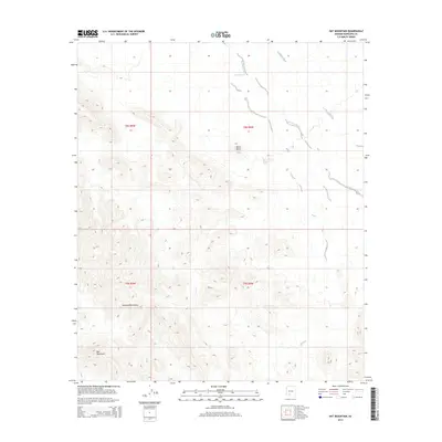
2014 Map of Hat Mountain
USGS Topo · Published 2014About this map
Hat Mountain and the southern reaches of the Sauceda Mountains define this arid landscape in Maricopa County. This terrain is characterized by complex desert drainage systems, notably the broad courses of Sauceda Wash and Quilotosa Wash that cut through the valley floors. High-elevation points like Black Butte offer prominent landmarks within the expansive public land survey system divisions. Water management is evident through isolated features such as Butte Tank and the named Lake Towers, suggesting the infrastructure necessary for managing resources in this dry environment. The map captures a moment of modern topographic recording, where traditional landmarks like the Sauceda Mountains are precisely located alongside the township and range boundaries of t8s r5w, t8s r4w, and t9s r5w.
Find a feature on this map
11 named features on this map. Tap any name to fly to it.
Don’t see what you’re looking for? This feature index may not catch every label — zoom into the map to look around manually.
Map Details
Editions of this 2014 Hat Mountain Map
This is the sole edition of this map. No revisions or reprints were ever made.
Other maps of this area

1950 · Theba
USGS Topo · 1:62,500

1951 · Gila Bend
USGS Topo · 1:62,500

1951 · Theba
USGS Topo · 1:62,500

1953 · Ajo
USGS Topo · 1:250,000

1957 · Ajo
USGS Topo · 1:250,000

1958 · Ajo
USGS Topo · 1:250,000

1958 · Midway
USGS Topo · 1:62,500

1958 · Hat Mountain
USGS Topo · 1:62,500

1962 · Ajo
USGS Topo · 1:250,000

1963 · Ajo
USGS Topo · 1:250,000