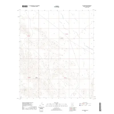
2018 Map of Hat Mountain
USGS Topo · Published 2018About this map
Hat Mountain and the surrounding Sauceda Mountains dominate this high-desert landscape in Maricopa County. This 2018 survey reveals a terrain defined by stark volcanic peaks and ephemeral drainage systems, most notably the wide paths of Sauceda Wash and Quilotosa Wash that cut through the north and east. The map provides a precise look at the arid topography of the Sonoran Desert, where massive geological formations like Black Butte rise sharply from the basin floor. These natural landmarks have long served as navigational aids in a region where water flow is seasonal and infrequent. This edition reflects the land's character at the start of the twenty-first century, showing the intersection of four different township and range boundaries including t9s r5w and t8s r4w.
Find a feature on this map
9 named features on this map. Tap any name to fly to it.
Don’t see what you’re looking for? This feature index may not catch every label — zoom into the map to look around manually.
Map Details
Editions of this 2018 Hat Mountain Map
This is the sole edition of this map. No revisions or reprints were ever made.
Other maps of this area

1950 · Theba
USGS Topo · 1:62,500

1951 · Gila Bend
USGS Topo · 1:62,500

1951 · Theba
USGS Topo · 1:62,500

1953 · Ajo
USGS Topo · 1:250,000

1957 · Ajo
USGS Topo · 1:250,000

1958 · Ajo
USGS Topo · 1:250,000

1958 · Midway
USGS Topo · 1:62,500

1958 · Hat Mountain
USGS Topo · 1:62,500

1962 · Ajo
USGS Topo · 1:250,000

1963 · Ajo
USGS Topo · 1:250,000