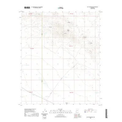
2020 Map of Hat Top Mountain
USGS Topo · Published 2020About this map
The Cedar Mountain Range dominates this corner of the high desert along the border of Grant and Luna Counties. Elevated peaks such as Hat Top Mtn, Cedar Mtn, and Old Baldy rise above a complex system of drainage patterns, including Willow Draw and Cedar Grove Draw. The topography reveals a land defined by water management in an arid climate, evidenced by numerous named catchment points scattered across the terrain.
Find a feature on this map
30 named features on this map. Tap any name to fly to it.
Don’t see what you’re looking for? This feature index may not catch every label — zoom into the map to look around manually.
Map Details
Editions of this 2020 Hat Top Mountain Map
This is the sole edition of this map. No revisions or reprints were ever made.
Other maps of this area

1918 · Hachita
USGS Topo · 1:62,500

1918 · Victorio
USGS Topo · 1:62,500

1954 · Silver City
USGS Topo · 1:250,000

1955 · Douglas
USGS Topo · 1:250,000

1958 · Silver City
USGS Topo · 1:250,000

1959 · Douglas
USGS Topo · 1:250,000

1961 · Douglas
USGS Topo · 1:250,000

1962 · Silver City
USGS Topo · 1:250,000

1963 · Gage SW
USGS Topo · 1:24,000
1963 · Gage SE
USGS Topo · 1:24,000