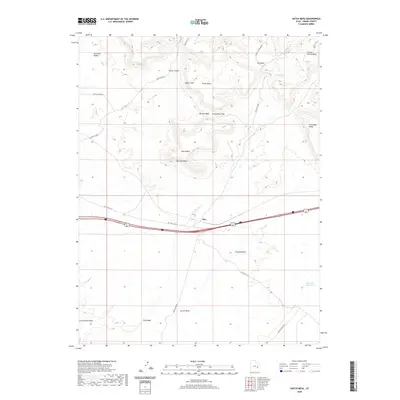
2020 Map of Hatch Mesa
USGS Topo · Published 2020About this map
Hatch Mesa and the prominent Book Cliffs dominate this arid landscape in Grand County, Utah. The terrain is defined by a series of dramatic elevations and drainage patterns, where features like The Basin and Green River Gap highlight the geological character of the Gunnison Valley region. Human activity is centered around the settlement of Floy, positioned near the historical path of Old Hwy 6 & 50. The map illustrates a network of ephemeral watercourses including Solitude Wash, Floy Wash, and Little Grand Wash, which carve through the Mancos Desert W. These drainages, along with the Blue Flat Reservoir, indicate the critical management of water in this high-desert environment. Traces of historical travel are evident in routes like Ruby Ranch Rd and W Valley City, while distinct landmarks like Christmas Ridge and Trough Spring Ridge provide essential orientation points across the desert floor.
Find a feature on this map
22 named features on this map. Tap any name to fly to it.
Don’t see what you’re looking for? This feature index may not catch every label — zoom into the map to look around manually.
Map Details
Editions of this 2020 Hatch Mesa Map
This is the sole edition of this map. No revisions or reprints were ever made.
Other maps of this area

1885 · San Rafael
USGS Topo · 1:250,000

1885 · East Tavaputs
USGS Topo · 1:250,000

1885 · La Sal
USGS Topo · 1:250,000

1886 · Price River
USGS Topo · 1:250,000

1896 · Price River
USGS Topo · 1:250,000

1954 · Tidwell 1 NE
USGS Topo · 1:24,000

1954 · Tidwell 1 SE
USGS Topo · 1:24,000

1954 · Green River
USGS Topo · 1:62,500

1956 · Salina
USGS Topo · 1:250,000

1956 · Price
USGS Topo · 1:250,000