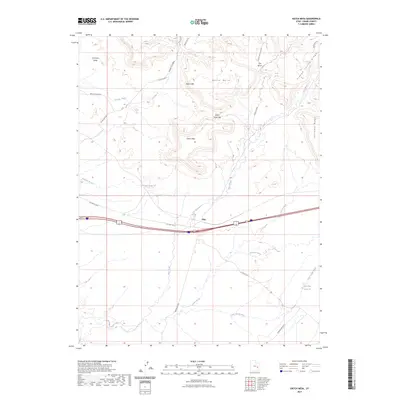
2023 Map of Hatch Mesa
USGS Topo · Published 2023About this map
Hatch Mesa and the surrounding Mancos Desert W define this part of eastern Utah, where the high desert plateau meets the distinct formations of the Book Cliffs. The topography is dominated by a series of mesas and deep cuts, including the Green River Gap and Blaze Canyon. Human presence is concentrated along the east-west corridor of Old Hwy 6 & 50, passing through the small settlement of Floy.
Find a feature on this map
24 named features on this map. Tap any name to fly to it.
Don’t see what you’re looking for? This feature index may not catch every label — zoom into the map to look around manually.
Map Details
Editions of this 2023 Hatch Mesa Map
This is the sole edition of this map. No revisions or reprints were ever made.
Other maps of this area

1885 · San Rafael
USGS Topo · 1:250,000

1885 · East Tavaputs
USGS Topo · 1:250,000

1885 · La Sal
USGS Topo · 1:250,000

1886 · Price River
USGS Topo · 1:250,000

1896 · Price River
USGS Topo · 1:250,000

1954 · Tidwell 1 NE
USGS Topo · 1:24,000

1954 · Tidwell 1 SE
USGS Topo · 1:24,000

1954 · Green River
USGS Topo · 1:62,500

1956 · Salina
USGS Topo · 1:250,000

1956 · Price
USGS Topo · 1:250,000