
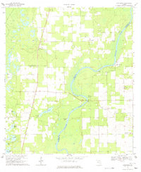
1968 Map of Hatchbend
USGS Topo · Published 1971About this map
The Suwannee River carves a deep, winding path through this corner of Florida, marking the borders between Lafayette, Dixie, and Gilchrist counties. In the late 1960s, this landscape was defined by the intersection of river life and limestone extraction, with numerous unnamed quarries dotting the pine-strewn terrain. Small rural communities like Hatchbend and Little Lake City anchor the uplands, while the riverbank is punctuated by natural landmarks like Guaranto Spring and Fletcher Spring.
Find a feature on this map
29 named features on this map. Tap any name to fly to it.
Don’t see what you’re looking for? This feature index may not catch every label — zoom into the map to look around manually.
Map Details
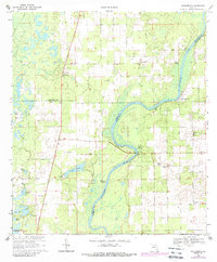
Editions of this 1968 Hatchbend Map
3 editions found
Other maps of this area

1954 · Cross City East
USGS Topo · 1:24,000

1954 · Mallory Swamp SE
USGS Topo · 1:24,000

1954 · Mallory Swamp NE
USGS Topo · 1:24,000

1954 · Gainesville
USGS Topo · 1:250,000

1956 · Mallory Swamp SE
USGS Topo · 1:25,000

1958 · Gainesville
USGS Topo · 1:250,000

1959 · Gainesville
USGS Topo · 1:250,000

1968 · Fourmile Lake
USGS Topo · 1:24,000

1968 · Branford
USGS Topo · 1:24,000
1968 · Hildreth
USGS Topo · 1:24,000