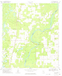
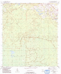
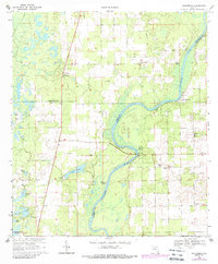
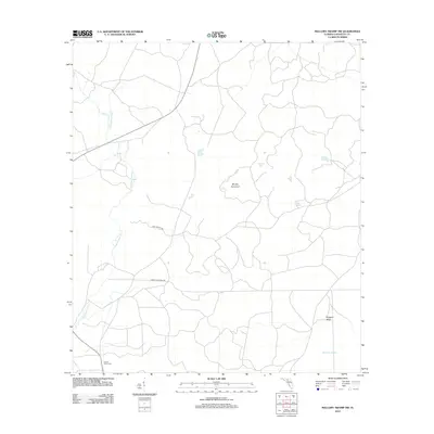
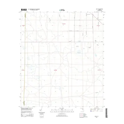
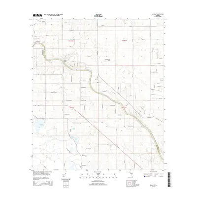
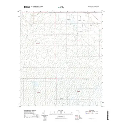
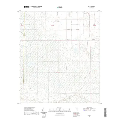
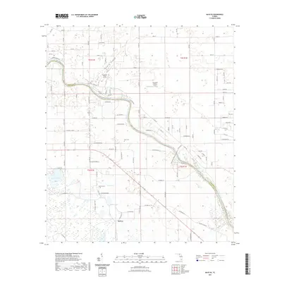
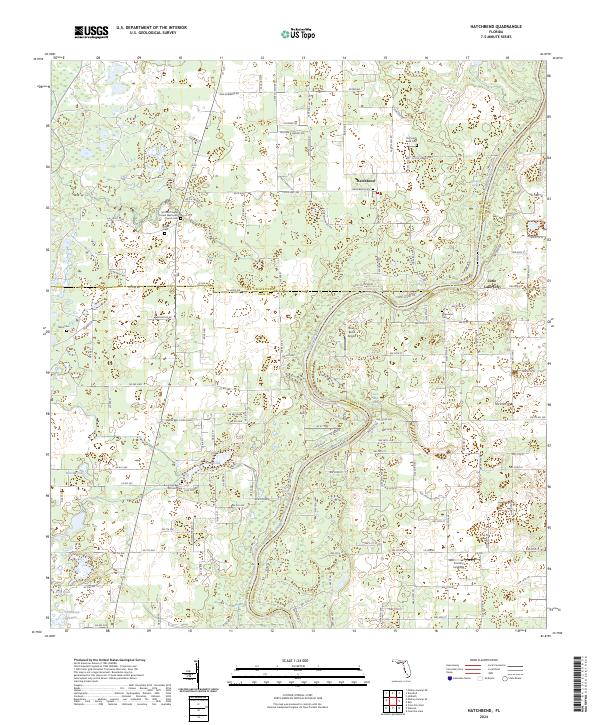
1968 Map of Hatchbend
USGS Topo · Published 1977About this map
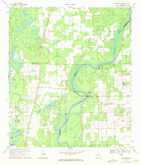
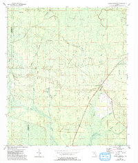
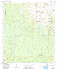
The Suwannee River carves a winding path through the borderlands of Lafayette, Gilchrist, and Dixie Counties in this late 1960s survey. The landscape is defined by its karst geography, where water is the primary architect, visible in the numerous springs and ponds such as Fletcher Spring, Guaranto Spring, and Rock Bluff Spring. Local life is anchored by a network of rural churches and cemeteries that trace family histories across the hammocks and prairies, including McCalla Chapel, New Hope Ch, and the Old Hatchbend Cem. The presence of several Quarries and a prominent Jeep Trail suggests an economy and lifestyle tied to resource extraction and the navigable river. Small settlement clusters at Hatchbend and Little Lake City provide the primary residential touchpoints in this limestone-rich terrain, which also features open expanses like Careless Prairie.
Find a feature on this map
32 named features on this map. Tap any name to fly to it.
Don’t see what you’re looking for? This feature index may not catch every label — zoom into the map to look around manually.
Map Details
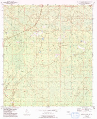
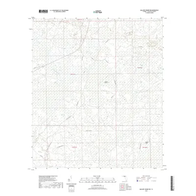
Editions of this 1968 Hatchbend Map
3 editions found
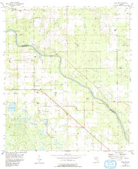
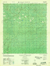
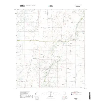
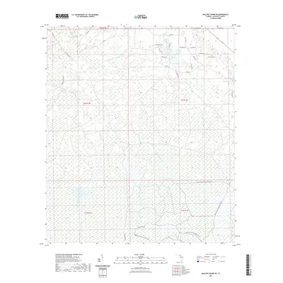
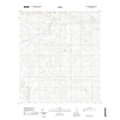
Historical Maps of Hatchbend Through Time
43 maps found
1954 Cooks Hammock
Lafayette County, FL
1954 Day SE
Lafayette County, FL
1954 Mallory Swamp NE
Lafayette County, FL
1954 Mallory Swamp NW
Lafayette County, FL
1955 Mayo SE
Lafayette County, FL
1956 Mallory Swamp NW
Lafayette County, FL
1968 Hatchbend
Lafayette County, FL
2012 Cooks Hammock
Lafayette County, FL
2012 Day SE
Lafayette County, FL

2012 Hatchbend
Lafayette County, FL
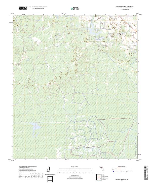
2012 Mallory Swamp NE
Lafayette County, FL
2012 Mallory Swamp NW
Lafayette County, FL
2012 Mayo SE
Lafayette County, FL
2012 Steinhatchee SW OE S
Lafayette County, FL
2015 Cooks Hammock
Lafayette County, FL
2015 Day SE
Lafayette County, FL
2015 Hatchbend
Lafayette County, FL
2015 Mallory Swamp NE
Lafayette County, FL
2015 Mallory Swamp NW
Lafayette County, FL
2015 Mayo SE
Lafayette County, FL
2015 Steinhatchee SW OE S
Lafayette County, FL
2018 Cooks Hammock
Lafayette County, FL
2018 Day SE
Lafayette County, FL

2018 Hatchbend
Lafayette County, FL
2018 Mallory Swamp NE
Lafayette County, FL
2018 Mallory Swamp NW
Lafayette County, FL
2018 Mayo SE
Lafayette County, FL

2018 Steinhatchee SW OE S
Lafayette County, FL
2021 Cooks Hammock
Lafayette County, FL
2021 Day SE
Lafayette County, FL
2021 Hatchbend
Lafayette County, FL
2021 Mallory Swamp NE
Lafayette County, FL
2021 Mallory Swamp NW
Lafayette County, FL
2021 Mayo SE
Lafayette County, FL
2021 Steinhatchee SW OE S
Lafayette County, FL
2024 Cooks Hammock
Lafayette County, FL
2024 Day SE
Lafayette County, FL
2024 Hatchbend
Lafayette County, FL
2024 Mallory Swamp NE
Lafayette County, FL
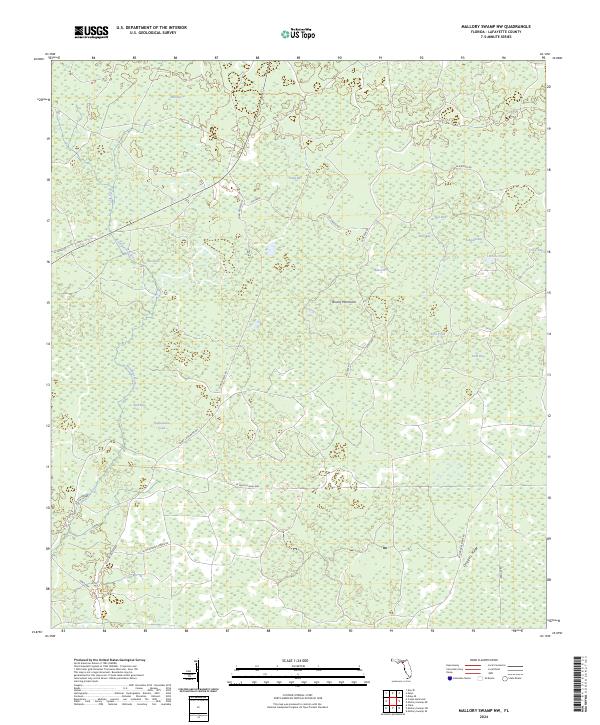
2024 Mallory Swamp NW
Lafayette County, FL
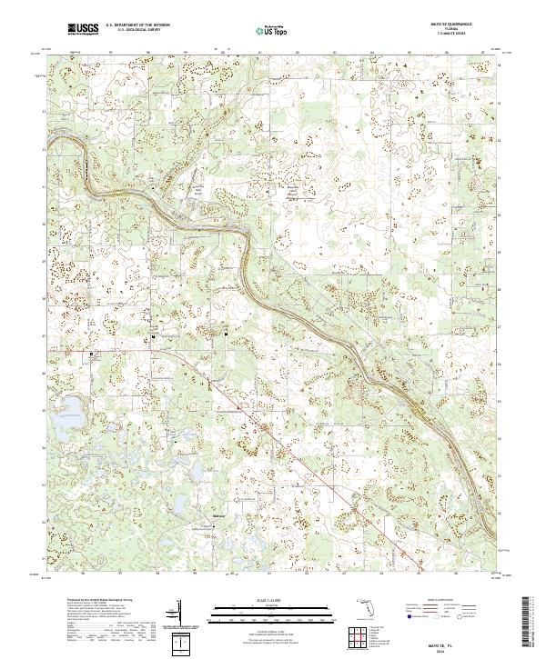
2024 Mayo SE
Lafayette County, FL
2024 Steinhatchee SW OE S
Lafayette County, FL
2025 Steinhatchee SW OE S
Lafayette County, FL