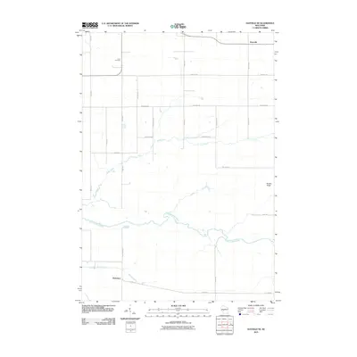
2010 Map of Hatfield NE
USGS Topo · Published 2010About this map
Shortville and Waterbury anchor this rural landscape in Jackson County, where the township grid meets the winding courses of the East Fork Black River. The area is defined by its drainage systems, with Rock Creek and Mollies Creek carving paths through the terrain towards the river's main channel. Cultural landmarks such as the Levis Cemetery reflect the long-standing community roots in this part of Wisconsin. The road network, including the thoroughfares of Sherwood Rd and Old Hwy 54, connects isolated farmsteads across the undulating ground leading toward Brushy Ridge. This survey provides a clear view of the transition from open agricultural fields to the more wooded, creek-fed bottomlands that characterize the river valley.
Find a feature on this map
24 named features on this map. Tap any name to fly to it.
Don’t see what you’re looking for? This feature index may not catch every label — zoom into the map to look around manually.
Map Details
Editions of this 2010 Hatfield NE Map
This is the sole edition of this map. No revisions or reprints were ever made.
Other maps of this area

1953 · Neillsville
USGS Topo · 1:62,500

1953 · Eau Claire
USGS Topo · 1:250,000

1954 · Granton
USGS Topo · 1:62,500

1957 · City Point
USGS Topo · 1:48,000

1958 · Eau Claire
USGS Topo · 1:250,000

1958 · Hatfield
USGS Topo · 1:48,000

1964 · Eau Claire
USGS Topo · 1:250,000
1970 · Hatfield SW
USGS Topo · 1:24,000

1970 · Spaulding
USGS Topo · 1:24,000
1970 · Hatfield
USGS Topo · 1:24,000