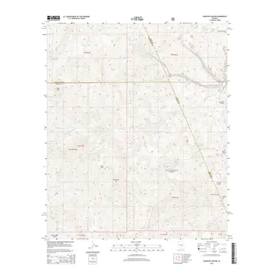
2014 Map of Haunted Canyon
USGS Topo · Published 2014About this map
Tonto National Forest defines this high-elevation landscape where the boundaries of Maricopa, Pinal, and Gila counties converge. The topography is dominated by massive landforms such as Pinto Peak, Sawtooth Ridge, and J K Mtn, which frame a complex network of seasonal drainages and springs. The map reveals a remote area characterized by its hydrography, with dozens of named water sources like Iron House Spring, Case Knife Spring, and Bootlegger Spring providing critical water in a dry environment.
Find a feature on this map
73 named features on this map. Tap any name to fly to it.
Don’t see what you’re looking for? This feature index may not catch every label — zoom into the map to look around manually.
Map Details
Editions of this 2014 Haunted Canyon Map
This is the sole edition of this map. No revisions or reprints were ever made.
Other maps of this area

1900 · Florence
USGS Topo · 1:125,000

1901 · Globe
USGS Topo · 1:62,500

1902 · Globe
USGS Topo · 1:62,500

1902 · Florence
USGS Topo · 1:125,000

1907 · Roosevelt
USGS Topo · 1:125,000

1909 · Four Peaks
USGS Topo · 1:125,000

1912 · Roosevelt
USGS Topo · 1:125,000

1922 · Chrysotile
USGS Topo · 1:125,000

1945 · Inspiration
USGS Topo · 1:24,000

1947 · Inspiration
USGS Topo · 1:24,000