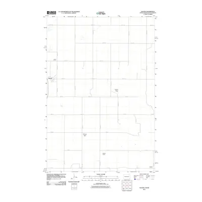
2011 Map of Havana
USGS Topo · Published 2011About this map
Havana anchors this rural landscape along the North Dakota and South Dakota border, where a grid of township roads defines the agricultural character of Sargent County. The town site is supported by local landmarks including the Havana Cemetery and nearby Trondhjem Cemetery, providing critical reference points for genealogists and local historians. The terrain is marked by essential water management features like the Tewaukon WS-T-1-A Dam and the WRC Flood Control Dam, which regulate the drainage through areas such as Marble Gulch. This survey captures the region's managed hydrology and the enduring layout of prairie settlements at the start of the 21st century.
Find a feature on this map
28 named features on this map. Tap any name to fly to it.
Don’t see what you’re looking for? This feature index may not catch every label — zoom into the map to look around manually.
Map Details
Editions of this 2011 Havana Map
This is the sole edition of this map. No revisions or reprints were ever made.
Other maps of this area

1907 · Wyndmere
USGS Topo · 1:125,000

1953 · Britton East
USGS Topo · 1:24,000

1953 · Kidder
USGS Topo · 1:24,000

1953 · Milbank
USGS Topo · 1:250,000

1953 · Fargo
USGS Topo · 1:250,000

1954 · Kidder SE
USGS Topo · 1:24,000

1956 · Fargo
USGS Topo · 1:250,000

1956 · Havana
USGS Topo · 1:24,000

1958 · Milbank
USGS Topo · 1:250,000

1958 · Hillhead
USGS Topo · 1:24,000