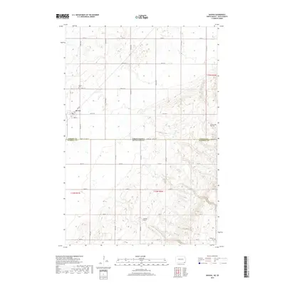
2018 Map of Havana
USGS Topo · Published 2018About this map
Havana serves as the primary settlement on this landscape, positioned where the flat plains meet the rising elevations of the Coteau des Prairies. This geographic transition defines the eastern half of the area, where the terrain becomes more varied with features like Marble Gulch. The map straddles the state line, showing the intersection of North Dakota and South Dakota between Sargent and Marshall Counties. Local history is anchored by the Havana Cem near the town center and the Trondhjem Cem further southeast. The layout of the region is strictly defined by a grid of rural roads, including Co RD 5 and 133rd Ave Se, which facilitate access to the surrounding agricultural sections and scattered homesteads across both states.
Find a feature on this map
33 named features on this map. Tap any name to fly to it.
Don’t see what you’re looking for? This feature index may not catch every label — zoom into the map to look around manually.
Map Details
Editions of this 2018 Havana Map
This is the sole edition of this map. No revisions or reprints were ever made.
Other maps of this area

1907 · Wyndmere
USGS Topo · 1:125,000

1953 · Britton East
USGS Topo · 1:24,000

1953 · Kidder
USGS Topo · 1:24,000

1953 · Milbank
USGS Topo · 1:250,000

1953 · Fargo
USGS Topo · 1:250,000

1954 · Kidder SE
USGS Topo · 1:24,000

1956 · Fargo
USGS Topo · 1:250,000

1956 · Havana
USGS Topo · 1:24,000

1958 · Milbank
USGS Topo · 1:250,000

1958 · Hillhead
USGS Topo · 1:24,000