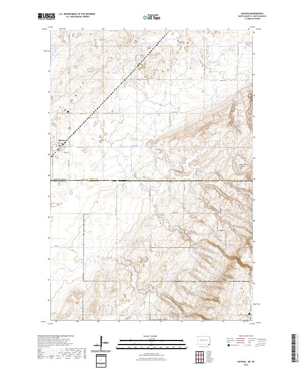
2024 Map of Havana
USGS Topo · Published 2024About this map
Havana sits at the edge of the Coteau des Prairies on this contemporary survey of the borderlands between North and South Dakota. The landscape is defined by the agricultural grid and the glacial topography of the upland plateau, where numerous small depressions and the larger Johnson Slough create a complex wetland environment. Local history and genealogy are preserved in the presence of Havana Cem and Trondhjem Cem, the latter situated near the southern edge of the quadrangle.
Find a feature on this map
30 named features on this map. Tap any name to fly to it.
Don’t see what you’re looking for? This feature index may not catch every label — zoom into the map to look around manually.
Map Details
Editions of this 2024 Havana Map
This is the sole edition of this map. No revisions or reprints were ever made.
Other maps of this area

1907 · Wyndmere
USGS Topo · 1:125,000

1953 · Britton East
USGS Topo · 1:24,000

1953 · Kidder
USGS Topo · 1:24,000

1953 · Milbank
USGS Topo · 1:250,000

1953 · Fargo
USGS Topo · 1:250,000

1954 · Kidder SE
USGS Topo · 1:24,000

1956 · Fargo
USGS Topo · 1:250,000

1956 · Havana
USGS Topo · 1:24,000

1958 · Milbank
USGS Topo · 1:250,000

1958 · Hillhead
USGS Topo · 1:24,000