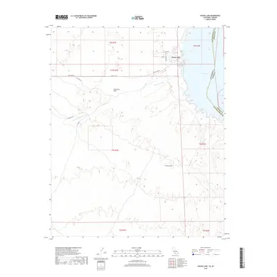
2018 Map of Havasu Lake
USGS Topo · Published 2018About this map
Havasu Lake sits along the western shoreline of the reservoir, marking a significant point of settlement within the arid expanse of the Mojave Desert. This 2018 survey highlights the relationship between the built environment and the natural drainage systems of the region, specifically the Chemehuevi Wash as it descends through the Chemehuevi Valley toward the Colorado River waters. The map details a network of roads and tracks providing access to the interior, such as Havasu Lake Rd and the S&F Mining Rd, which suggest the area's ongoing connection to resource extraction and recreation. The boundary between San Bernardino and Mohave counties follows the path of Lake Havasu, illustrating the precise division between California and Arizona in this desert corridor.
Find a feature on this map
21 named features on this map. Tap any name to fly to it.
Don’t see what you’re looking for? This feature index may not catch every label — zoom into the map to look around manually.
Map Details
Editions of this 2018 Havasu Lake Map
This is the sole edition of this map. No revisions or reprints were ever made.
Other maps of this area

1903 · Needles
USGS Topo · 1:125,000

1904 · Needles Special
USGS Topo · 1:125,000

1911 · Parker
USGS Topo · 1:125,000

1943 · Topock
USGS Topo · 1:62,500

1943 · Whipple Mts.
USGS Topo · 1:62,500

1950 · Topock
USGS Topo · 1:62,500

1950 · Sawtooth Range
USGS Topo · 1:62,500

1950 · Whipple Mts
USGS Topo · 1:62,500

1950 · Savahia Peak
USGS Topo · 1:62,500

1951 · Topock
USGS Topo · 1:62,500