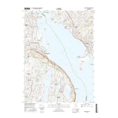
2016 Map of Haverstraw
USGS Topo · Published 2016About this map
Haverstraw and West Haverstraw anchor the western shore of the Hudson River where the waterway widens into the expansive Haverstraw Bay. The terrain is defined by dramatic riverfront heights such as High Tor and South Mtn, which overlook the dense suburban corridors of New City and Congers. To the east, across the water, the Westchester and Rockland county line bisects the river, bordering the sharp geography of Croton Point and Tellers Point.
Find a feature on this map
71 named features on this map. Tap any name to fly to it.
Don’t see what you’re looking for? This feature index may not catch every label — zoom into the map to look around manually.
Map Details
Editions of this 2016 Haverstraw Map
This is the sole edition of this map. No revisions or reprints were ever made.
Other maps of this area

1891 · Ramapo
USGS Topo · 1:62,500

1892 · West Point
USGS Topo · 1:62,500

1892 · Tarrytown
USGS Topo · 1:62,500

1893 · Tarrytown
USGS Topo · 1:62,500

1893 · Ramapo
USGS Topo · 1:62,500

1894 · West Point
USGS Topo · 1:62,500

1899 · West Point
USGS Topo · 1:62,500

1901 · West Point
USGS Topo · 1:62,500

1902 · Tarrytown
USGS Topo · 1:62,500

1902 · Schunemunk
USGS Topo · 1:62,500