
1968 Map of Haviland NW
USGS Topo · Published 1970About this map
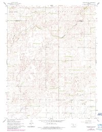
Rattlesnake Creek meanders through this High Plains landscape, marking a prominent natural drainage pattern in northern Kiowa County. The 1968 field-checked survey reveals an era of mid-century infrastructure, characterized by several straight-line pipelines that cut across the agricultural township boundaries. The terrain is defined by the borders of South Brown, Franklin, Valley, Union, Center, and Brenham, illustrating the organized grid of Kansas land division. Smaller hydrological details like the East Fork and scattered resources such as a marked Oil Well and well sites provide specific points of interest for those researching local land use and development during the late 1960s.
Find a feature on this map
12 named features on this map. Tap any name to fly to it.
Don’t see what you’re looking for? This feature index may not catch every label — zoom into the map to look around manually.
Map Details
Editions of this 1968 Haviland NW Map
2 editions found
Other maps of this area

1889 · Kinsley
USGS Topo · 1:125,000

1892 · Kinsley
USGS Topo · 1:125,000

1894 · Kinsley
USGS Topo · 1:125,000

1955 · Pratt
USGS Topo · 1:250,000

1959 · Pratt
USGS Topo · 1:250,000

1968 · Haviland
USGS Topo · 1:24,000

1968 · Haviland NE
USGS Topo · 1:24,000

1968 · Brenham
USGS Topo · 1:24,000
1969 · Greensburg
USGS Topo · 1:24,000
1969 · Greensburg NE
USGS Topo · 1:24,000