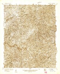
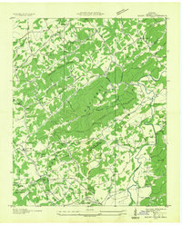
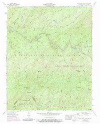
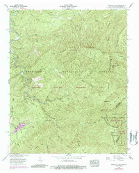
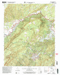
1933 Map of Haw Knob
USGS Topo · Published 1933This historical map portrays the area of Haw Knob in 1933, primarily covering Monroe County as well as portions of North Carolina. Featuring a scale of 1:48000, this map provides a highly detailed snapshot of the terrain, roads, buildings, counties, and historical landmarks in the Haw Knob region at the time. Published in 1933, it is one of 2 known editions of this map due to revisions or reprints.
Find a feature on this map
97 named features on this map. Tap any name to fly to it.
Don’t see what you’re looking for? This feature index may not catch every label — zoom into the map to look around manually.
Map Details
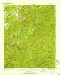
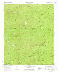
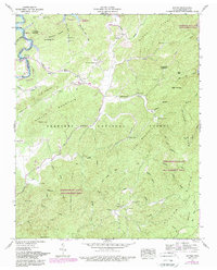
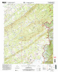
Editions of this 1933 Haw Knob Map
2 editions found
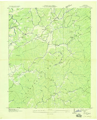
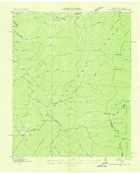
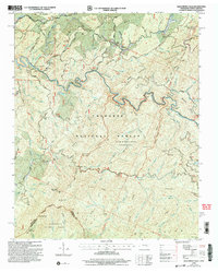
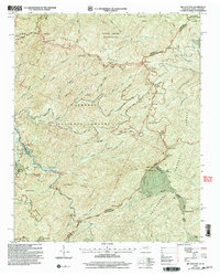
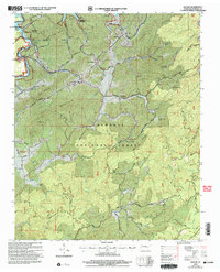
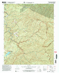
Historical Maps of Acorn Through Time
23 maps found

1927 Big Junction
Monroe County, TN

1933 Bald River Falls
Monroe County, TN
1933 Haw Knob
Monroe County, TN
1933 Rafter
Monroe County, TN
1933 Whiteoak Flats
Monroe County, TN

1934 Mecca
Monroe County, TN
1934 Mount Vernon
Monroe County, TN

1935 Tellico
Monroe County, TN
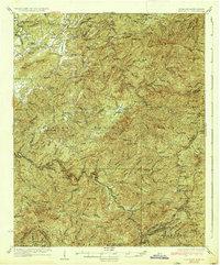
1937 Haw Knob
Monroe County, TN
1943 Tellico
Monroe County, TN
1946 Mount Vernon
Monroe County, TN
1957 Bald River Falls
Monroe County, TN
1957 Big Junction
Monroe County, TN
1957 Mecca
Monroe County, TN
1957 Rafter
Monroe County, TN
1957 Whiteoak Flats
Monroe County, TN
1984 Rafter
Monroe County, TN
2003 Bald River Falls
Monroe County, TN
2003 Big Junction
Monroe County, TN
2003 Mecca
Monroe County, TN
2003 Mount Vernon
Monroe County, TN
2003 Rafter
Monroe County, TN
2003 Whiteoak Flats
Monroe County, TN