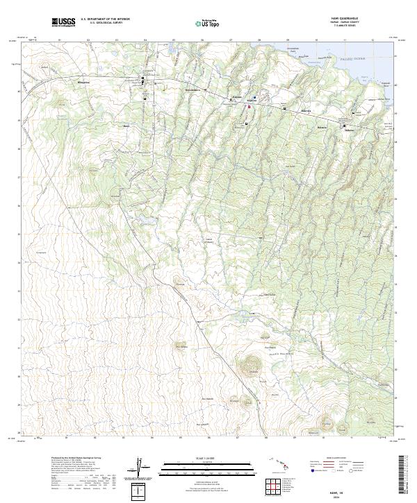
2024 Map of Hawi
USGS Topo · Published 2024About this map
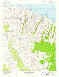
Hawi and the surrounding north Kohala coast are defined by a landscape of deep gulches and significant cultural landmarks. The area's plantation and spiritual history is evident in the high density of religious and community burial sites, such as the Sacred Heart Catholic Church Cem, Kohala Jodo Mission Cem, and the Kohala Tong Wo Society Cem near Halawa. Inland, the terrain rises sharply into the Kohala Mountains, where the engineering of the Kohala Ditch and the Kehena Reservoir illustrate the complex water management systems required for this region. Numerous drainages like Halawa Gulch and Waikani Gulch carve through the slopes toward the Pacific, while coastal markers like Kauhola Point and Keawaeli Bay anchor the shoreline north of Halaula.
Find a feature on this map
129 named features on this map. Tap any name to fly to it.
Don’t see what you’re looking for? This feature index may not catch every label — zoom into the map to look around manually.
Map Details
Editions of this 2024 Hawi Map
This is the sole edition of this map. No revisions or reprints were ever made.
Other maps of this area

1913 · Kohala
USGS Topo · 1:62,500

1916 · Kohala
USGS Topo · 1:62,500

1916 · Waipio
USGS Topo · 1:62,500

1954 · Hawaii North
USGS Topo · 1:250,000

1956 · Kamuela
USGS Topo · 1:24,000

1956 · Kawaihae
USGS Topo · 1:24,000
1957 · Keawanui Bay
USGS Topo · 1:24,000
1957 · Honokane
USGS Topo · 1:24,000
1957 · Mahukona
USGS Topo · 1:24,000
1957 · Hawi
USGS Topo · 1:24,000