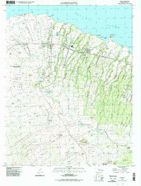
1995 Map of Hawi
USGS Topo · Published 1998About this map
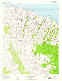
The northern tip of Hawaii's Big Island is captured here, centered on the historic sugar-era settlements of Hawi and Kapaau. This 1990s record details the complex land divisions of the Kohala coast, from the maritime beacon at Upolu Pt to the agricultural interior. The landscape is defined by the legacy of the sugar industry, evidenced by the Kohala Ditch which cuts through the volcanic slopes to provide water for the fields that once dominated this region.
Find a feature on this map
116 named features on this map. Tap any name to fly to it.
Don’t see what you’re looking for? This feature index may not catch every label — zoom into the map to look around manually.
Map Details
Editions of this 1995 Hawi Map
This is the sole edition of this map. No revisions or reprints were ever made.
Other maps of this area

1913 · Kohala
USGS Topo · 1:62,500

1916 · Kohala
USGS Topo · 1:62,500

1916 · Waipio
USGS Topo · 1:62,500

1954 · Hawaii North
USGS Topo · 1:250,000

1956 · Kamuela
USGS Topo · 1:24,000

1956 · Kawaihae
USGS Topo · 1:24,000
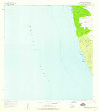
1957 · Keawanui Bay
USGS Topo · 1:24,000
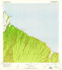
1957 · Honokane
USGS Topo · 1:24,000
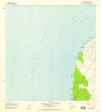
1957 · Mahukona
USGS Topo · 1:24,000
1957 · Hawi
USGS Topo · 1:24,000