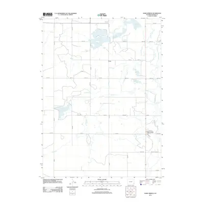
2012 Map of Hawk Springs
USGS Topo · Published 2012About this map
Hawk Springs anchors the southeastern corner of this Goshen County landscape, where the settlement's street grid includes names like Clarke St and Marlatt St. The geography is defined by a sophisticated network of water management, evidenced by the numerous reservoirs and man-made channels that crisscross the plains. Major storage sites like Goshen Hole Reservoir and Sinnard Reservoir support the region's agricultural viability, while smaller basins such as Dunn Reservoir and Hughes Reservoir dot the central terrain.
Find a feature on this map
49 named features on this map. Tap any name to fly to it.
Don’t see what you’re looking for? This feature index may not catch every label — zoom into the map to look around manually.
Map Details
Editions of this 2012 Hawk Springs Map
This is the sole edition of this map. No revisions or reprints were ever made.
Other maps of this area

1899 · Goshen Hole
USGS Topo · 1:125,000

1954 · Cheyenne
USGS Topo · 1:250,000

1958 · Cheyenne
USGS Topo · 1:250,000

1960 · Huntley
USGS Topo · 1:24,000

1960 · Veteran
USGS Topo · 1:24,000

1960 · Diamond Flat
USGS Topo · 1:24,000

1960 · Hawk Springs
USGS Topo · 1:24,000

1960 · Needle Rock
USGS Topo · 1:24,000

1960 · Kessler Gap
USGS Topo · 1:24,000

1960 · La Grange
USGS Topo · 1:24,000