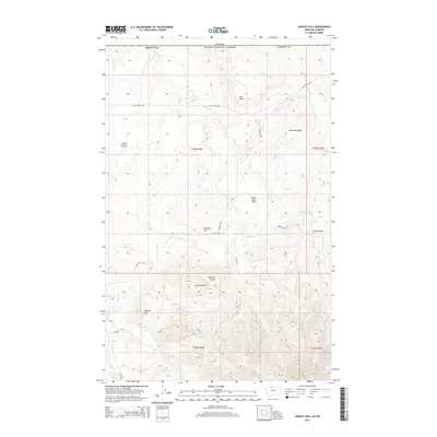
2014 Map of Hawley Hill
USGS Topo · Published 2014About this map
The Whitlash Gas and Oil Field marks the western edge of this northern Montana landscape, where the terrain rises sharply from the plains into the eastern reaches of the Sweet Grass Hills. This 2014 survey documents a rugged ranching and energy-producing corridor along the Canadian border, characterized by deep drainage systems like Long Coulee and Simmons Coulee. Significant topographical landmarks such as Hawley Hill, Ikes Butte, and Bingham Ridge define the local relief, while a network of seasonal watercourses including Police Cr and Dohrs Cr weave through the township sections. The map reveals the infrastructure of the rural West through isolated routes like Flat Coulee Rd and Black Jack Rd, reflecting a landscape dedicated to resource extraction and high-altitude grazing.
Find a feature on this map
26 named features on this map. Tap any name to fly to it.
Don’t see what you’re looking for? This feature index may not catch every label — zoom into the map to look around manually.
Map Details
Editions of this 2014 Hawley Hill Map
This is the sole edition of this map. No revisions or reprints were ever made.
Other maps of this area

1954 · Shelby
USGS Topo · 1:250,000

1958 · Shelby
USGS Topo · 1:250,000
1962 · Bingham Lake
USGS Topo · 1:24,000

1962 · Whitlash
USGS Topo · 1:24,000
1962 · Hawley Hill
USGS Topo · 1:24,000

1962 · Haystack Butte
USGS Topo · 1:24,000

1962 · Mount Lebanon
USGS Topo · 1:24,000

1962 · Grassy Butte
USGS Topo · 1:24,000

1984 · Sweet Grass Hills
USGS Topo · 1:100,000
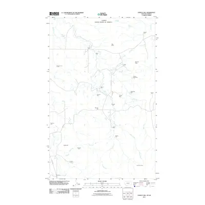
2011 · Hawley Hill
USGS Topo · 1:24,000