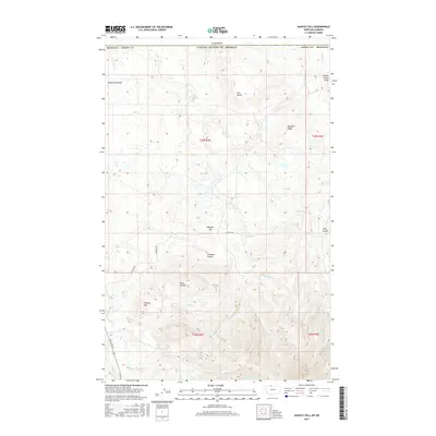
2017 Map of Hawley Hill
USGS Topo · Published 2017About this map
Hawley Hill rises above the high plains of Liberty County, Montana, just south of the international border with Canada. This landscape is defined by the eastern extent of the Sweet Grass Hills, where the terrain transitions from prairie to significant topographical elevations like Ikes Butte and Morgan Hill. The map reveals a drainage network typical of the northern glaciated plains, with numerous creeks such as Police Cr, Belle Cr, and Breed Cr cutting through the upland ridges. Local landmarks such as Bingham Ridge and the deep incisions of Long Coulee and Simmons Coulee provide essential points of orientation for researchers and landowners. Sparse ranching roads, including Shaffer Rd and Whitlash Rd, connect the sectioned land parcels across this open country.
Find a feature on this map
25 named features on this map. Tap any name to fly to it.
Don’t see what you’re looking for? This feature index may not catch every label — zoom into the map to look around manually.
Map Details
Editions of this 2017 Hawley Hill Map
This is the sole edition of this map. No revisions or reprints were ever made.
Other maps of this area

1954 · Shelby
USGS Topo · 1:250,000

1958 · Shelby
USGS Topo · 1:250,000
1962 · Bingham Lake
USGS Topo · 1:24,000

1962 · Whitlash
USGS Topo · 1:24,000
1962 · Hawley Hill
USGS Topo · 1:24,000

1962 · Haystack Butte
USGS Topo · 1:24,000

1962 · Mount Lebanon
USGS Topo · 1:24,000

1962 · Grassy Butte
USGS Topo · 1:24,000

1984 · Sweet Grass Hills
USGS Topo · 1:100,000
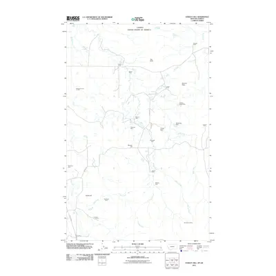
2011 · Hawley Hill
USGS Topo · 1:24,000