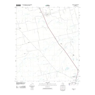
2010 Map of Hawley
USGS Topo · Published 2010About this map
The Clear Fork Brazos River winds through the northern reaches of this Taylor County landscape, defining the rural character of the area around Hawley. This 2010 survey illustrates the region's reliance on both agriculture and industry, with the Cosden Refinery situated along the highway corridor leading toward Abilene. The map provides significant detail for local historians, identifying several active petroleum sites including the Hawley Oil Field, Dorsey Oil Field, and Akard Oil Field, which speak to the area's long-standing energy economy.
Find a feature on this map
40 named features on this map. Tap any name to fly to it.
Don’t see what you’re looking for? This feature index may not catch every label — zoom into the map to look around manually.
Map Details
Editions of this 2010 Hawley Map
This is the sole edition of this map. No revisions or reprints were ever made.
Other maps of this area

1890 · Abilene
USGS Topo · 1:125,000

1891 · Anson
USGS Topo · 1:125,000

1892 · Abilene
USGS Topo · 1:125,000

1893 · Anson
USGS Topo · 1:125,000

1954 · Abilene
USGS Topo · 1:250,000

1957 · Hawley
USGS Topo · 1:62,500

1957 · Kirby Lake
USGS Topo · 1:62,500

1957 · Abilene West
USGS Topo · 1:24,000

1957 · Abilene East
USGS Topo · 1:24,000

1957 · Nugent
USGS Topo · 1:62,500