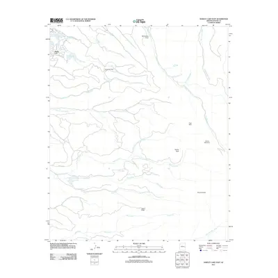
2011 Map of Hawley Lake East
USGS Topo · Published 2011About this map
Hawley Lake serves as the focal point of this high-altitude landscape in the White Mountains of eastern Arizona. The area is defined by a complex network of waterways, including Trout Creek, Earl Creek, and Moon Creek, which flow through various draws and parks such as Upper Earl Park. These features characterize a region traditionally utilized for seasonal recreation and timber management. The topography is punctuated by prominent volcanic and geological landmarks like Tiger Butte, Apache Butte, and the rising slopes of Spruce Mountain.
Find a feature on this map
39 named features on this map. Tap any name to fly to it.
Don’t see what you’re looking for? This feature index may not catch every label — zoom into the map to look around manually.
Map Details
Editions of this 2011 Hawley Lake East Map
This is the sole edition of this map. No revisions or reprints were ever made.
Other maps of this area

1886 · St Johns
USGS Topo · 1:250,000

1892 · St Johns
USGS Topo · 1:250,000

1954 · Clifton
USGS Topo · 1:250,000

1954 · Saint Johns
USGS Topo · 1:250,000

1957 · Clifton
USGS Topo · 1:250,000

1957 · Saint Johns
USGS Topo · 1:250,000

1958 · Clifton
USGS Topo · 1:250,000

1958 · Saint Johns
USGS Topo · 1:250,000

1961 · McNary
USGS Topo · 1:62,500

1962 · Clifton
USGS Topo · 1:250,000