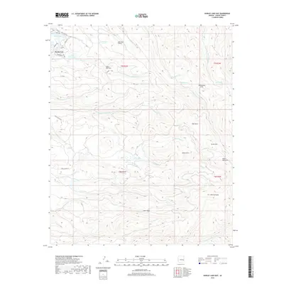
2018 Map of Hawley Lake East
USGS Topo · Published 2018About this map
Hawley Lake serves as a focal point for this high-elevation landscape in the White Mountains, where complex drainage patterns define the territory. The map reveals a network of high-country water features, including Earl Park Lake and numerous alpine cienegas such as Maverick Cienega and Bear Cienega. These wetland systems, unique to the Arizona highlands, feed into a dense web of creeks like Trout Cr and Porcupine Cr, which eventually contribute to the E Fork White River at the southern boundary.
Find a feature on this map
50 named features on this map. Tap any name to fly to it.
Don’t see what you’re looking for? This feature index may not catch every label — zoom into the map to look around manually.
Map Details
Editions of this 2018 Hawley Lake East Map
This is the sole edition of this map. No revisions or reprints were ever made.
Other maps of this area

1886 · St Johns
USGS Topo · 1:250,000

1892 · St Johns
USGS Topo · 1:250,000

1954 · Clifton
USGS Topo · 1:250,000

1954 · Saint Johns
USGS Topo · 1:250,000

1957 · Clifton
USGS Topo · 1:250,000

1957 · Saint Johns
USGS Topo · 1:250,000

1958 · Clifton
USGS Topo · 1:250,000

1958 · Saint Johns
USGS Topo · 1:250,000

1961 · McNary
USGS Topo · 1:62,500

1962 · Clifton
USGS Topo · 1:250,000