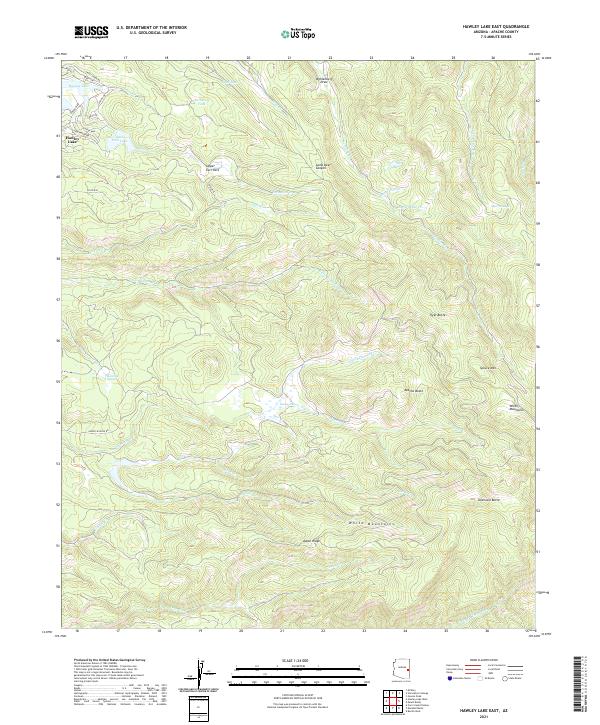
2021 Map of Hawley Lake East
USGS Topo · Published 2021About this map
Hawley Lake and Earl Park Lake anchor this high-elevation landscape in the White Mountains of eastern Arizona. The map details a complex hydrographic system where Trout Creek and Earl Creek flow from the lake basins into a network of alpine canyons and draws. Notable peaks and landforms, including Spruce Mountain, Apache Butte, and the prominent Aspen Ridge, define the topographic relief. The prevalence of meadows and wetlands such as Maverick Cienega and Bear Cienega suggests a lush riparian environment. Local infrastructure is represented by a series of specialized roads like Upper Logging Road and Trout Creek Road, reflecting the area's history of forest management and recreation. The southern portion of the sheet is dominated by the headwaters of the East Fork White River, showing the rugged drainage patterns characteristic of the Mogollon Rim region.
Find a feature on this map
50 named features on this map. Tap any name to fly to it.
Don’t see what you’re looking for? This feature index may not catch every label — zoom into the map to look around manually.
Map Details
Editions of this 2021 Hawley Lake East Map
This is the sole edition of this map. No revisions or reprints were ever made.
Other maps of this area

1886 · St Johns
USGS Topo · 1:250,000

1892 · St Johns
USGS Topo · 1:250,000

1954 · Clifton
USGS Topo · 1:250,000

1954 · Saint Johns
USGS Topo · 1:250,000

1957 · Clifton
USGS Topo · 1:250,000

1957 · Saint Johns
USGS Topo · 1:250,000

1958 · Clifton
USGS Topo · 1:250,000

1958 · Saint Johns
USGS Topo · 1:250,000

1961 · McNary
USGS Topo · 1:62,500

1962 · Clifton
USGS Topo · 1:250,000