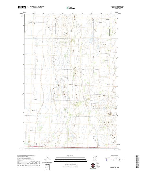
2022 Map of Hawley NW
USGS Topo · Published 2022About this map
Spring Prairie and Highland townships characterize this part of Clay County, defined by the organized grid of the Public Land Survey System. The terrain is notably flat, punctuated by the shallow waters of Hatchet Lake and numerous small wetlands that dot the prairie landscape. Local history is anchored at the Spring Prairie Cem and Lysne Cem, which serve as quiet markers of the region's agricultural settlement. A precise network of section-line roads, including Co Rd 86 and Co Rd 87, facilitates travel between the farmsteads that occupy this productive corner of the Red River Valley. The map provides a detailed record of the 2022 landscape, showing how the original township boundaries like t140n r46w and t141n r45w continue to dictate the modern rural geography.
Find a feature on this map
23 named features on this map. Tap any name to fly to it.
Don’t see what you’re looking for? This feature index may not catch every label — zoom into the map to look around manually.
Map Details
Editions of this 2022 Hawley NW Map
This is the sole edition of this map. No revisions or reprints were ever made.
Other maps of this area

1895 · Fargo
USGS Topo · 1:125,000

1897 · Fargo
USGS Topo · 1:125,000

1918 · Ulen
USGS Topo · 1:62,500

1919 · Hawley
USGS Topo · 1:62,500

1952 · Grand Forks
USGS Topo · 1:250,000

1953 · Fargo
USGS Topo · 1:250,000

1956 · Fargo
USGS Topo · 1:250,000

1956 · Grand Forks
USGS Topo · 1:250,000
1964 · Glyndon South
USGS Topo · 1:24,000
1964 · Glyndon North
USGS Topo · 1:24,000