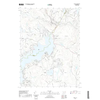
2019 Map of Hawley
USGS Topo · Published 2019About this map
Hawley stands as the primary hub at the northern edge of this Pennsylvania survey, situated where the Lackawaxen River meets its tributaries like Middle Creek. The landscape is dominated by the northern reaches of Lake Wallenpaupack, featuring Epply Island and Spinnler Point. This massive reservoir and the surrounding lakes, including Fairview Lake and Florence Lake, reflect the region's development as a central recreation and water-management destination.
Find a feature on this map
181 named features on this map. Tap any name to fly to it.
Don’t see what you’re looking for? This feature index may not catch every label — zoom into the map to look around manually.
Map Details
Editions of this 2019 Hawley Map
This is the sole edition of this map. No revisions or reprints were ever made.
Other maps of this area

1892 · Honesdale
USGS Topo · 1:62,500

1920 · Damascus
USGS Topo · 1:62,500

1923 · Damascus
USGS Topo · 1:62,500

1928 · Ariel
USGS Topo · 1:62,500

1932 · Ariel
USGS Topo · 1:62,500

1935 · Hawley
USGS Topo · 1:62,500

1938 · Hawley
USGS Topo · 1:62,500

1943 · Honesdale
USGS Topo · 1:125,000

1944 · Damascus
USGS Topo · 1:62,500

1946 · Honesdale
USGS Topo · 1:24,000
Featured Places
- Lackawaxen Township, PA
- Blooming Grove Township, PA
- Hawley, PA
- Palmyra Township, PA
- Palmyra Township, PA