
1946 Map of Honesdale
USGS Topo · Published 1967About this map
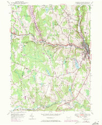
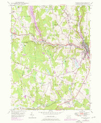
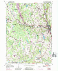
The Lackawaxen River valley anchors this 1940s-era landscape, where the confluence of industry and transport is most evident in the settlement of Honesdale. At this time, the Erie RR followed the southern watercourses, connecting the rural communities of Clemo and Prompton to the regional hub. Beyond the developed centers of Seelyville and Bethany, the terrain is defined by a high density of small water bodies like Keen Pond and Cadjaw Pond, alongside several family-named landmarks and rural institutions. Genealogy researchers will find numerous rural burial grounds and educational sites, including the Rickard Cem, Schoonover Cem, and the Fermoy Sch, which illustrate the distributed population patterns of Texas and Cherry Ridge townships during the mid-20th century.
Find a feature on this map
49 named features on this map. Tap any name to fly to it.
Don’t see what you’re looking for? This feature index may not catch every label — zoom into the map to look around manually.
Map Details
Editions of this 1946 Honesdale Map
4 editions found
Other maps of this area

1892 · Honesdale
USGS Topo · 1:62,500

1920 · Damascus
USGS Topo · 1:62,500

1923 · Damascus
USGS Topo · 1:62,500

1928 · Ariel
USGS Topo · 1:62,500

1932 · Ariel
USGS Topo · 1:62,500

1935 · Hawley
USGS Topo · 1:62,500

1938 · Hawley
USGS Topo · 1:62,500

1943 · Honesdale
USGS Topo · 1:125,000

1944 · Damascus
USGS Topo · 1:62,500

1946 · Forest City
USGS Topo · 1:24,000