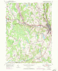
1946 Map of Honesdale
USGS Topo · Published 1971About this map
Honesdale serves as the regional hub in this mid-century portrait of Wayne County, situated at the confluence of Dyberry Creek and the Lackawaxen River. The landscape is characterized by its complex water network, including Prompton Lake West Branch and the General Edgar Jadwin Dam, which manage the flow through the narrow valleys. Evidence of earlier industrial infrastructure is visible in the Old Railroad Grade winding through the southern townships of South Canaan and Paupack.
Find a feature on this map
58 named features on this map. Tap any name to fly to it.
Don’t see what you’re looking for? This feature index may not catch every label — zoom into the map to look around manually.
Map Details
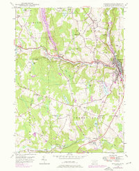
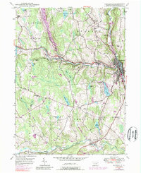
Editions of this 1946 Honesdale Map
4 editions found

Other maps of this area

1892 · Honesdale
USGS Topo · 1:62,500

1920 · Damascus
USGS Topo · 1:62,500

1923 · Damascus
USGS Topo · 1:62,500

1928 · Ariel
USGS Topo · 1:62,500

1932 · Ariel
USGS Topo · 1:62,500

1935 · Hawley
USGS Topo · 1:62,500

1938 · Hawley
USGS Topo · 1:62,500

1943 · Honesdale
USGS Topo · 1:125,000

1944 · Damascus
USGS Topo · 1:62,500

1946 · Forest City
USGS Topo · 1:24,000