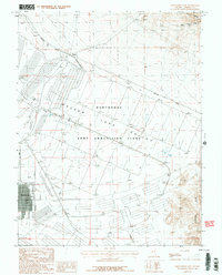
1987 Map of Hawthorne East
USGS Topo · Published 1987About this map
The Hawthorne Army Ammunition Plant dominates the floor of Walker Lake Valley, showing an extensive network of infrastructure and bunkers during the late 1980s. This industrial footprint contrasts sharply with the high desert terrain of the Gillis Range to the north and the Garfield Hills to the south. The town of Hawthorne is situated at the western edge of the facility, featuring a structured grid and a local Athletic Field. Mineral extraction is evident in the northern heights, where the Green Talc Mine and Dover Mine are located near several unnamed prospects. Transportation in the valley is anchored by the Southern Pacific railroad line, which passes through Thorne as it skirts the mountains. The presence of several Dry Lake beds suggests the arid climate of this military-industrial landscape.
Find a feature on this map
22 named features on this map. Tap any name to fly to it.
Don’t see what you’re looking for? This feature index may not catch every label — zoom into the map to look around manually.
Map Details
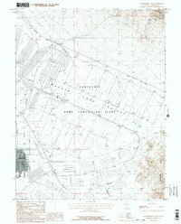
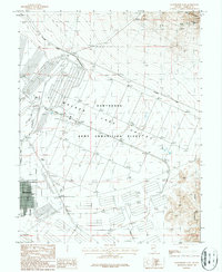
Editions of this 1987 Hawthorne East Map
3 editions found
Other maps of this area

1909 · Hawthorne
USGS Topo · 1:250,000

1911 · Hawthorne
USGS Topo · 1:250,000

1915 · Hawthorne
USGS Topo · 1:250,000

1948 · Walker Lake
USGS Topo · 1:250,000

1955 · Powell Mtn
USGS Topo · 1:62,500

1955 · Hawthorne
USGS Topo · 1:62,500

1957 · Walker Lake
USGS Topo · 1:250,000

1962 · Walker Lake
USGS Topo · 1:250,000

1964 · Walker Lake
USGS Topo · 1:250,000

1967 · Pamlico
USGS Topo · 1:24,000