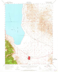
1955 Map of Hawthorne
USGS Topo · Published 1965About this map
Hawthorne serves as the central hub of this mid-century Nevada landscape, situated at the junction of military and transportation infrastructure. The town's grid is dominated by the Mineral Co High Sch and a local Cem, while the expansive Naval Ammunition Depot occupies the surrounding flats, highlighting the area's strategic importance during the Cold War. To the north, the steel rails of the Southern Pacific track toward Thorne, following the base of the Gillis Range and providing a vital link for the high-desert munitions facility.
Find a feature on this map
15 named features on this map. Tap any name to fly to it.
Don’t see what you’re looking for? This feature index may not catch every label — zoom into the map to look around manually.
Map Details
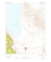
Editions of this 1955 Hawthorne Map
3 editions found
Other maps of this area

1909 · Hawthorne
USGS Topo · 1:250,000

1911 · Hawthorne
USGS Topo · 1:250,000

1915 · Hawthorne
USGS Topo · 1:250,000

1948 · Walker Lake
USGS Topo · 1:250,000

1955 · Powell Mtn
USGS Topo · 1:62,500

1955 · Hawthorne
USGS Topo · 1:62,500

1956 · Mt. Grant
USGS Topo · 1:62,500

1956 · Aurora
USGS Topo · 1:62,500

1957 · Walker Lake
USGS Topo · 1:250,000

1962 · Walker Lake
USGS Topo · 1:250,000