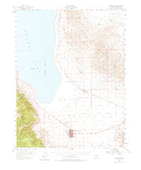
1955 Map of Hawthorne
USGS Topo · Published 1975About this map
Hawthorne serves as the focal point of this mid-century survey, situated at the southern tip of the expansive Walker Lake. The town is characterized by its orderly grid, which includes the Mineral Co High Sch and a local Cem, reflecting its role as a regional center of civic life. To the east and south, the Naval Ammunition Depot occupies a significant portion of the desert floor, its presence a hallmark of the era's military infrastructure.
Find a feature on this map
18 named features on this map. Tap any name to fly to it.
Don’t see what you’re looking for? This feature index may not catch every label — zoom into the map to look around manually.
Map Details
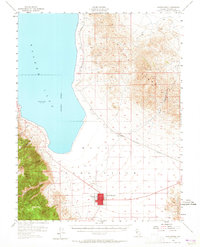
Editions of this 1955 Hawthorne Map
3 editions found
Other maps of this area

1909 · Hawthorne
USGS Topo · 1:250,000

1911 · Hawthorne
USGS Topo · 1:250,000

1915 · Hawthorne
USGS Topo · 1:250,000

1948 · Walker Lake
USGS Topo · 1:250,000

1955 · Powell Mtn
USGS Topo · 1:62,500

1955 · Hawthorne
USGS Topo · 1:62,500

1956 · Mt. Grant
USGS Topo · 1:62,500

1956 · Aurora
USGS Topo · 1:62,500

1957 · Walker Lake
USGS Topo · 1:250,000

1962 · Walker Lake
USGS Topo · 1:250,000