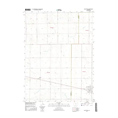
2016 Map of Haxtun West
USGS Topo · Published 2016About this map
Haxtun and Dailey sit within the high plains landscape of northeastern Colorado, where the grid of county roads and the paths of intermittent streams define the local geography. The town of Haxtun is visible in the southeast, showing its residential street grid including W Grant St and N Logan Ave. North of the town center, the Haxtun Cem serves as a significant local landmark for genealogical research. The settlement of Dailey is situated to the west along the railroad line, near Lambert St. This area is characterized by the drainage of Wildhorse Cr and the N Fork Frenchman Cr, which cross the township lines of t9n r48w and t8n r47w. The map illustrates the boundary between Logan and Phillips Counties, showing how modern infrastructure follows the early Public Land Survey System boundaries.
Find a feature on this map
34 named features on this map. Tap any name to fly to it.
Don’t see what you’re looking for? This feature index may not catch every label — zoom into the map to look around manually.
Map Details
Editions of this 2016 Haxtun West Map
This is the sole edition of this map. No revisions or reprints were ever made.
Other maps of this area

1952 · Marks Butte
USGS Topo · 1:24,000

1953 · Tamarack Ranch
USGS Topo · 1:24,000

1953 · Crook
USGS Topo · 1:24,000

1954 · Sterling
USGS Topo · 1:250,000

1958 · Sterling
USGS Topo · 1:250,000

1962 · Fleming
USGS Topo · 1:24,000

1962 · Haxtun East
USGS Topo · 1:24,000

1962 · Haxtun West
USGS Topo · 1:24,000

1971 · Haxtun SE
USGS Topo · 1:24,000

1972 · St Petersburg
USGS Topo · 1:24,000