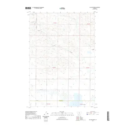
2020 Map of Hay Basin North
USGS Topo · Published 2020About this map
Hay Basin sits along the southern border of this landscape, where the Musselshell Co Yellowstone Co line divides the high-country drainages. The northern reaches are defined by the rugged elevations of the Bull Mountains, where seasonal waters like Dean Cr and the E Fork Dean Cr have carved intricate coulees into the terrain. The map captures a contemporary look at rural land divisions, showing the enduring Public Land Survey System grid across T6N R24E and adjacent townships.
Find a feature on this map
27 named features on this map. Tap any name to fly to it.
Don’t see what you’re looking for? This feature index may not catch every label — zoom into the map to look around manually.
Map Details
Editions of this 2020 Hay Basin North Map
This is the sole edition of this map. No revisions or reprints were ever made.
Other maps of this area

1954 · Roundup
USGS Topo · 1:250,000

1958 · Roundup
USGS Topo · 1:250,000

1979 · Roundup
USGS Topo · 1:100,000

1979 · Bundy
USGS Topo · 1:24,000

1979 · Harper Coulee
USGS Topo · 1:24,000

1979 · Elso
USGS Topo · 1:24,000

1979 · Hay Basin NE
USGS Topo · 1:24,000
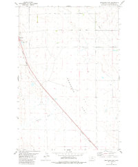
1979 · Broadview East
USGS Topo · 1:24,000
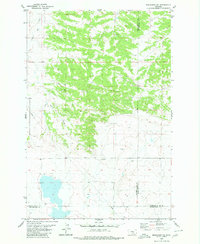
1980 · Broadview NE
USGS Topo · 1:24,000
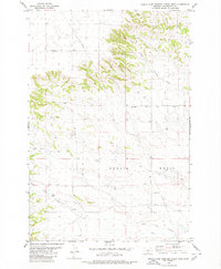
1980 · North Fork Crooked Creek West
USGS Topo · 1:24,000