
1974 Map of Hay Canyon
USGS Topo · Published 1976About this map
The Pawnee River meanders through the southern half of this Kansas landscape, defined by the winding valley of Hay Canyon and the conservation grounds of the Finney State Game Management Area. This mid-1970s survey captures a rural terrain focused on water management and land use, featuring the State Lake and several small water-control structures such as a Floodgate on the river. The topography transition between the Garfield region and the canyon floor is punctuated by small-scale resource extraction at the Caliche Pit. Evidence of the area's infrastructure is seen in the straight lines of the buried Pipeline that cuts across the southern sections, while recreation is noted at the established Picnic Area near the canyon's edge. Drainage patterns are well-defined by Cottonwood Creek and a localized Spring feeding into the river system.
Find a feature on this map
14 named features on this map. Tap any name to fly to it.
Don’t see what you’re looking for? This feature index may not catch every label — zoom into the map to look around manually.
Map Details
Editions of this 1974 Hay Canyon Map
This is the sole edition of this map. No revisions or reprints were ever made.
Other maps of this area

1955 · Scott City
USGS Topo · 1:250,000

1958 · Scott City
USGS Topo · 1:250,000

1974 · Ravanna
USGS Topo · 1:24,000
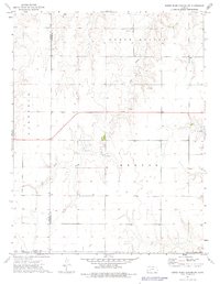
1974 · Horse Thief Canyon SW
USGS Topo · 1:24,000
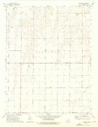
1974 · Kalvesta
USGS Topo · 1:24,000

1974 · Dighton SW
USGS Topo · 1:24,000

1974 · Beeler SW
USGS Topo · 1:24,000

1974 · Dighton SE
USGS Topo · 1:24,000
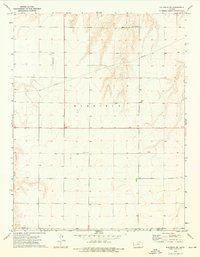
1974 · Kalvesta SW
USGS Topo · 1:24,000
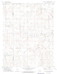
1974 · Horse Thief Canyon NW
USGS Topo · 1:24,000