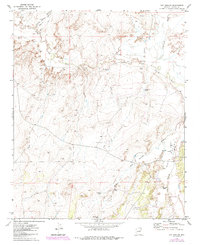
1971 Map of Hay Hollow
USGS Topo · Published 1985About this map
The Little Colorado River winds through the northern portion of this Navajo County landscape, carving through the high desert terrain of the Colorado Plateau. This 1971 survey illustrates a region defined by its drainage systems and water management, featuring significant seasonal washes like Mexican Hollow Wash and Cottonwood Wash. The landscape is characterized by its agricultural and ranching infrastructure, evidenced by several Corrals and a network of named livestock tanks including Antelope Tank, Jim Dandy Tank, and Dry Lake Tank.
Find a feature on this map
18 named features on this map. Tap any name to fly to it.
Don’t see what you’re looking for? This feature index may not catch every label — zoom into the map to look around manually.
Map Details
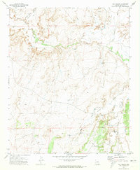
Editions of this 1971 Hay Hollow Map
2 editions found
Other maps of this area

1886 · St Johns
USGS Topo · 1:250,000

1886 · Holbrook
USGS Topo · 1:250,000

1892 · St Johns
USGS Topo · 1:250,000

1893 · Holbrook
USGS Topo · 1:250,000

1912 · Petrified Forest
USGS Topo · 1:62,500

1954 · Holbrook
USGS Topo · 1:250,000

1954 · Saint Johns
USGS Topo · 1:250,000

1955 · Petrified Forest
USGS Topo · 1:62,500

1955 · Adamana 3 NE
USGS Topo · 1:24,000

1955 · St. Joseph 1 SE
USGS Topo · 1:24,000