
1973 Map of Hay Hollow
USGS Topo · Published 1975About this map
The rugged West Texas rangeland where Sterling, Tom Green, and Irion counties meet is defined by the deep seasonal drainage of Hay Hollow. This 1970s survey captures a landscape primarily dedicated to resource extraction and livestock, evidenced by the scattered Gravel Pits and the Cope Field petroleum operations. An extensive Pipeline traverses the southern half of the quadrangle, illustrating the infrastructure required to move energy from these remote sectors. Grounded in local utility, distinctive features like the Model A Windmill and the intermittent flows of Kiowa Creek and Coon Dive Draw represent the critical water management necessary for sustaining life in this arid region of the Concho Valley hinterlands.
Find a feature on this map
11 named features on this map. Tap any name to fly to it.
Don’t see what you’re looking for? This feature index may not catch every label — zoom into the map to look around manually.
Map Details
Editions of this 1973 Hay Hollow Map
This is the sole edition of this map. No revisions or reprints were ever made.
Other maps of this area

1921 · Ketchum Mountain
USGS Topo · 1:62,500

1923 · Ketchum Mountain
USGS Topo · 1:62,500

1954 · San Angelo
USGS Topo · 1:250,000

1958 · San Angelo
USGS Topo · 1:250,000

1965 · San Angelo
USGS Topo · 1:250,000

1970 · South Mustang Draw NE
USGS Topo · 1:24,000
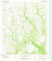
1973 · Bradford Draw
USGS Topo · 1:24,000

1973 · Three Bluff Draw
USGS Topo · 1:24,000
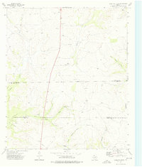
1973 · Coon Dive Draw
USGS Topo · 1:24,000

1973 · Three Bluff Draw NE
USGS Topo · 1:24,000