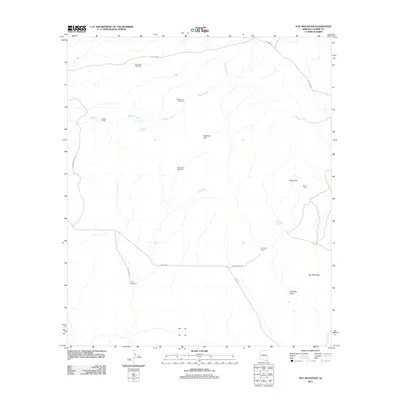
2011 Map of Hay Mountain
USGS Topo · Published 2011About this map
Reeves Ranch and H O Davis Ranch anchor this arid Cochise County landscape, where water access defines the geography of settlement. The map documents a network of essential water features including Antelope Spring, Reeves Tank, and Thompson Tank, alongside a series of functional landmarks like Deep Well Windmill and Grapevines Windmill. These dispersed structures highlight the infrastructure required for ranching in the high desert southeast of Tombstone. Prominent terrain features such as Hay Mountain and Signal Hill overlook a system of unpaved desert tracks including Gleeson Rd and E Davis Rd. The presence of Gold Camp near the eastern margin suggests the area's history of mineral exploration, while Stockton Draw and Reeves Creek trace the natural drainage patterns through this sparsely populated corner of Arizona.
Find a feature on this map
20 named features on this map. Tap any name to fly to it.
Don’t see what you’re looking for? This feature index may not catch every label — zoom into the map to look around manually.
Map Details
Editions of this 2011 Hay Mountain Map
This is the sole edition of this map. No revisions or reprints were ever made.
Other maps of this area

1915 · Benson
USGS Topo · 1:125,000

1916 · Pearce
USGS Topo · 1:125,000

1922 · St. David
USGS Topo · 1:62,500

1925 · Gleeson
USGS Topo · 1:62,500

1926 · Courtland
USGS Topo · 1:62,500

1932 · Fairbank
USGS Topo · 1:62,500

1943 · Benson
USGS Topo · 1:125,000

1952 · Tombstone SE
USGS Topo · 1:24,000
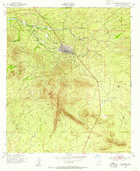
1952 · Tombstone
USGS Topo · 1:24,000
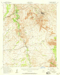
1952 · Tombstone
USGS Topo · 1:62,500