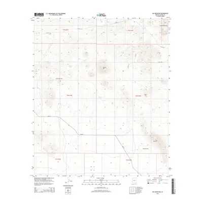
2014 Map of Hay Mountain
USGS Topo · Published 2014About this map
Hay Mountain and the southern reaches of the Dragoon Mountains dominate this high-desert landscape in Cochise County. The terrain is defined by dramatic elevation changes, from the prominent summits of Stockton Hill and Signal Hill to the long, steady descents of Government Draw and Stockton Draw. Water management in this arid environment is evident through several named catchments, including Reeves Tank and Thompson Tank, alongside the presence of Antelope Spring. This network of tanks and seasonal drainages like Reeves Cr supported the ranching and transit patterns of the region. The map details the rural road system connecting these remote outposts, featuring E Gleeson Rd and Davis Rd, which cut through the township and range sections that organize this corner of the Arizona desert.
Find a feature on this map
21 named features on this map. Tap any name to fly to it.
Don’t see what you’re looking for? This feature index may not catch every label — zoom into the map to look around manually.
Map Details
Editions of this 2014 Hay Mountain Map
This is the sole edition of this map. No revisions or reprints were ever made.
Other maps of this area

1915 · Benson
USGS Topo · 1:125,000

1916 · Pearce
USGS Topo · 1:125,000

1922 · St. David
USGS Topo · 1:62,500

1925 · Gleeson
USGS Topo · 1:62,500

1926 · Courtland
USGS Topo · 1:62,500

1932 · Fairbank
USGS Topo · 1:62,500

1943 · Benson
USGS Topo · 1:125,000

1952 · Tombstone SE
USGS Topo · 1:24,000
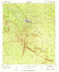
1952 · Tombstone
USGS Topo · 1:24,000
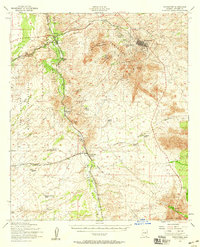
1952 · Tombstone
USGS Topo · 1:62,500