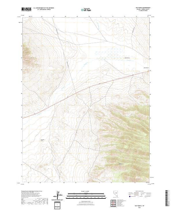
2021 Map of Hay Ranch
USGS Topo · Published 2021About this map
Hay Meadow and the wetlands of Slough Cr dominate this pocket of central Nevada, where the high desert floor meets the rising elevations of the Mahogany Hills. This 2021 survey illustrates a landscape of large-scale ranching and basin-and-range topography, where access is defined by long, unpaved corridors like Roberts Creek Rd and Saddler Brown Rd. The map reveals the stark isolation of Lone Mtn, which stands as a prominent landmark above the surrounding flats of Antelope Valley. The presence of drainage features like U-ans-in-dame Cr indicates the seasonal water patterns that sustain the local rangeland. Genealogists and historians can use these contemporary surveys to identify modern property access and persistent land names that have defined this portion of Eureka County for generations.
Find a feature on this map
12 named features on this map. Tap any name to fly to it.
Don’t see what you’re looking for? This feature index may not catch every label — zoom into the map to look around manually.
Map Details
Editions of this 2021 Hay Ranch Map
This is the sole edition of this map. No revisions or reprints were ever made.
Other maps of this area

1926 · Roberts Mountains
USGS Topo · 1:250,000

1929 · Roberts Mountains
USGS Topo · 1:250,000

1955 · Millett
USGS Topo · 1:250,000

1956 · Bellevue Peak
USGS Topo · 1:62,500

1956 · Bartine Ranch
USGS Topo · 1:62,500

1956 · Antelope Peak
USGS Topo · 1:62,500

1956 · Whistler Mtn
USGS Topo · 1:62,500

1959 · Millett
USGS Topo · 1:250,000

1978 · Summit Mountain
USGS Topo · 1:100,000

1979 · Simpson Park Mtns
USGS Topo · 1:100,000